GEOCODING
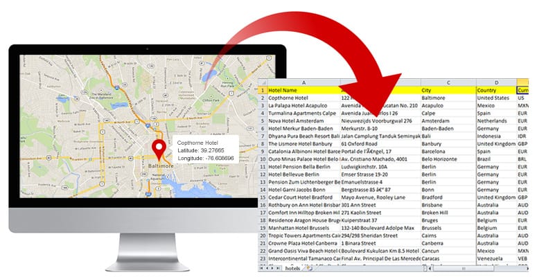
Geocoding is the process of converting addresses into geographic coordinates. This is typically an expensive proposition, particularly for larger datasets that also requires cumbersome custom API implementation with third party API’s. Geocoding is usually required for displaying address type coordinates on a map.
GEOCOD.IO
After evaluating a number of geocoding services, we are pleased to announce an integration with geocod.io for its simplicity, accuracy and cost effectiveness. By partnering with geocod.io, latitude and longitude lookup support is now included within Cloud9 Charts. The service is free for up to 2500 lookups a day, all the way to $750/mo for high volume, unlimited usage (see geocod.io pricing details).
HOW IT WORKS
Following is a 5 minute, hands-on walkthrough to determine Lat/Longs from some addresses, to then display it on a map:
1. Copy and paste the following into https://www.cloud9charts.com/csv-json-files-analytics.
| State | City | Address |
| Florida | Orlando | 1912 S Orange Avenue |
| Ohio | Piketon | 4077 Union Hill Road |
| Georgia | Appling | 3162 Johnson Drive |
| Michigan | Kalamazoo | 5581 Cracker Barrel Blvd |
| Virginia | Chesapeake | 1401 N. George Washington Hwy |
| New Mexico | Roswell | 2300 block of Davis Ave |
| Georgia | Moultrie | Rossman Dairy Road |
| Pennsylvania | Pittsburgh (Wilkinsburg) | 1304 Franklin Avenue |
| Kansas | Kansas City | 3000 block of South 36th Street |
2. Click on Show me. On the dashboard, click on the Filter icon –> click on Cloud9QL. Cloud9QL is a powerful data transformation syntax that includes support for geocoding, IP to geo conversion, predictions, cohorts and other analytics functions.
3. Add the following into the Cloud9QL:
select concat(address,’,’,city,’,’,state) as address;
select geocode(address,626bb3d8cd2c3db255d2223c67f670525d7a5d5)
The first statement concats the the address, city and state in comma separated form; the results of this are passed into the second statement which calls into the geocod.io.
The geocode function takes two parameters: the address field and the geocod.io API key. (The API key above is for small scale tests. We recommend obtaining your own API key from geocod.io)
The results will look something like this, with lat & long plus a few other fields.
4. Let’s convert this into a Map: From Settings, choose the Geo Marker Pins as the visualization type.
Voila!
More Geo features coming soon. Stay tuned.
More:


